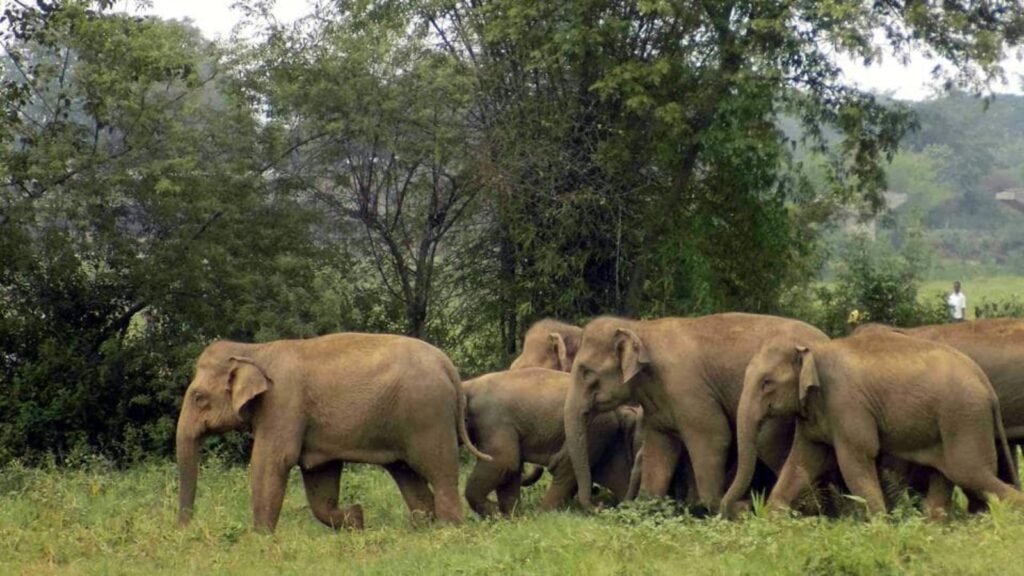
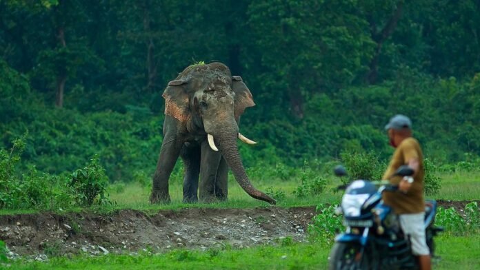
In 2025, the lush green landscapes of Assam are not just home to rich biodiversity but also to one of India’s most pressing environmental challenges—elephant-human conflict. As villages expand into forest corridors, encounters between elephants and humans have become more frequent and dangerous. But now, an innovative digital solution known as the ‘Haati App’ is changing the way Assam tackles this crisis—blending technology with traditional wisdom.
The Growing Problem of Elephant-Human Conflict in Assam
Elephant-human conflict has intensified over the past decade in Assam, especially in districts like Udalguri, Sonitpur, Goalpara, and Nagaon. Crop damage, house destruction, and tragic human and elephant deaths have created fear and mistrust on both sides. As elephants stray into human settlements in search of food or due to habitat fragmentation, the need for sustainable conflict mitigation strategies has never been more urgent.
What Is the ‘Haati App’?
Developed in collaboration with the Assam Forest Department and tech partners, the ‘Haati App’ is a mobile-based alert and tracking system launched to empower villagers and forest guards alike. It offers real-time elephant location alerts, incident reporting features, and predictive movement forecasts. By integrating GPS and local reports, it aims to create a safer environment for both humans and elephants.

How the App Works in Real Time
Users of the Haati App receive location-based alerts whenever a herd is spotted near their area. Forest rangers and community informants log sightings into the app, which then triggers automated SMS alerts to villagers. The app maps elephant movements using GPS collars fitted on select herds and integrates AI models to forecast potential conflict zones—allowing timely preventive measures.
Community Engagement and Success Stories
In villages like Rowta and Orang, the Haati App has dramatically improved preparedness. Farmers now know when to light torch fires, move livestock, or avoid certain routes. Youth groups and village committees have been trained to use the app effectively. In 2025, over 400 villages are active users of the app, contributing to a 40% drop in property damage and a reduction in night-time panic incidents.
Role of Forest Officials and Tech Integration
Forest officials play a key role in updating real-time data, deploying quick-response teams, and guiding communities on best practices. The app has also been integrated with drones in some zones for aerial tracking of herds. This fusion of ground intelligence and tech tools has enhanced coordination and response time significantly across the most conflict-prone districts.
Data Analytics and Predictive Mapping
The Haati App collects data not just on current sightings but also on seasonal patterns, elephant paths, and high-risk zones. Using AI-powered analytics, the system now predicts hotspots of potential conflict with remarkable accuracy. These insights are used to develop micro-level intervention plans, such as crop shifting, fencing, and night patrols in high-alert regions.

Challenges in App Adoption
Despite its success, the app faces challenges—limited internet connectivity in remote areas, low smartphone penetration among older villagers, and language barriers in app interface design. Efforts are underway to develop an offline alert feature via SMS and incorporate voice commands in Assamese and tribal dialects to make the app more inclusive.
Positive Outcomes Observed in 2025
In 2025, the Haati App has been credited with preventing over 150 potential conflict incidents, saving lives and reducing economic losses in several districts. Most importantly, it is fostering a shift from confrontation to coexistence. Villagers feel empowered with real-time information, and elephants are less frequently provoked into aggressive behavior.
Future Scope and Conservation Goals
There are plans to scale the Haati App across the Northeast and even parts of West Bengal. Future updates will include crowd-sourced audio alerts, camera trap integration, and AI-based herd behavior analysis. Wildlife NGOs are also exploring ways to link the app with insurance compensation systems for crop damage, ensuring quicker and more transparent relief.
The Haati App represents a unique confluence of conservation technology, grassroots engagement, and administrative foresight. In a region where wildlife and humans have long shared space, tools like this are essential to building trust and ensuring peaceful coexistence. As Assam leads the way with this model in 2025, it offers a replicable blueprint for other wildlife conflict zones in India and beyond.
Also Read: Promising Startups Driving Assam’s Entrepreneurial Boom in 2025


